

After a tough week at work and the world political situation moving into some kind of parallel universe, a day in the outdoors was a necessity. And after first planning a walk along the River Tweed, I spoke to Mr Clyde who was continuing his mission to stride along the Southern Upland Way from East to West. His latest weekend jaunt from Beattock to St Marys Loch sounded fun, his company and the chance to visit Over Phawhope bothy won in the battle of the potential outdoor adventures.
It was dull but dry when I parked up on the side of the road near Capplegill at about 9.15am. just as I was finishing my packing, a taxi pulled up and in I got to find Mr C and Emma the taxi driver discussing the possibility of Emma picking us up from the bothy later or even dropping off a takeaway. (Both ideas were ridiculous of course, unless she had a helicopter.)
We reached Beattock and Emma dropped us with our gear and a reminder that not all taxi drivers are grumpy.

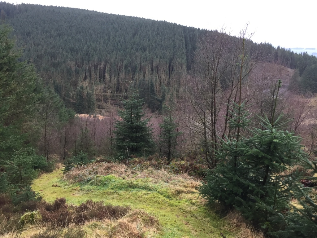
Early on we saw evidence of the recent storm damage with a number of trees down, some of them big old timbers. This one was the first of many scars we saw on the landscape on our journey today.

The hills were covered in plantations and areas of storm damage.

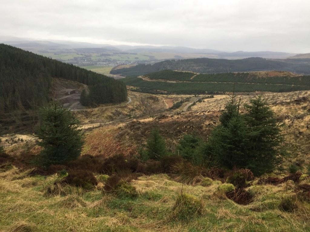
Looking back towards our beginning in Beattock.
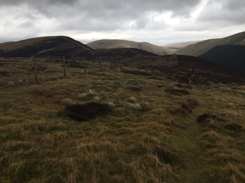
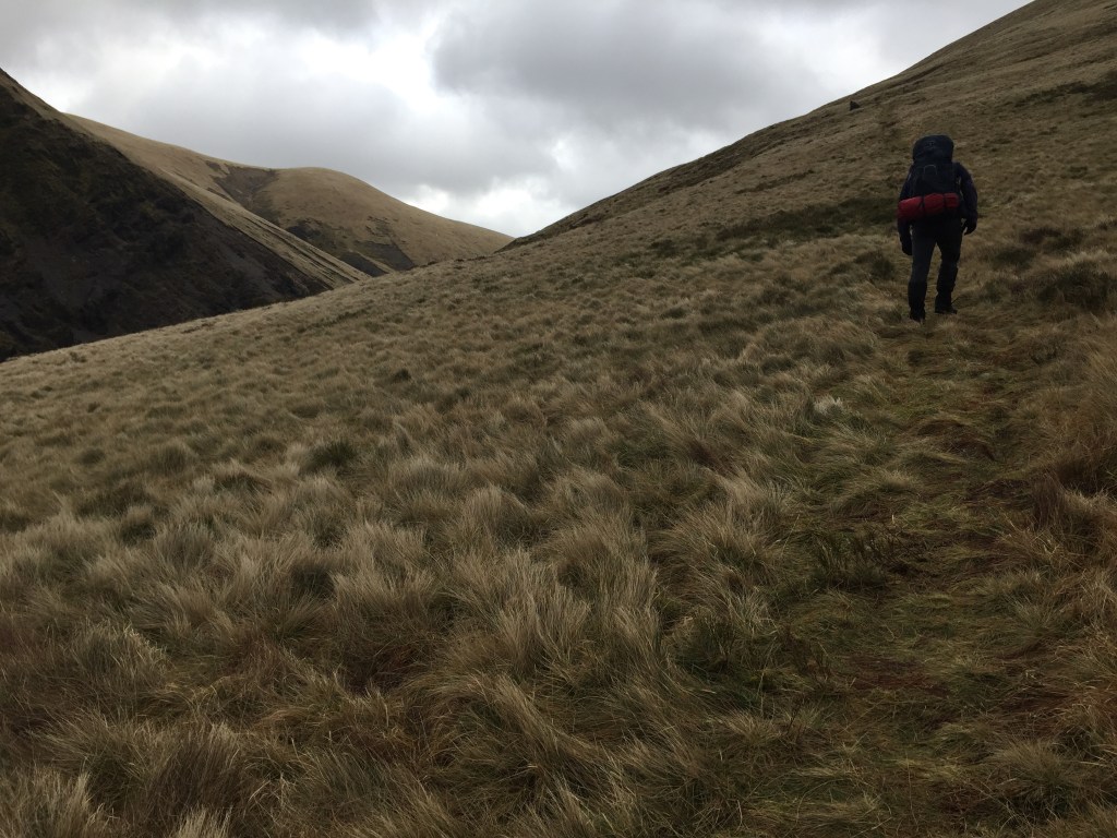
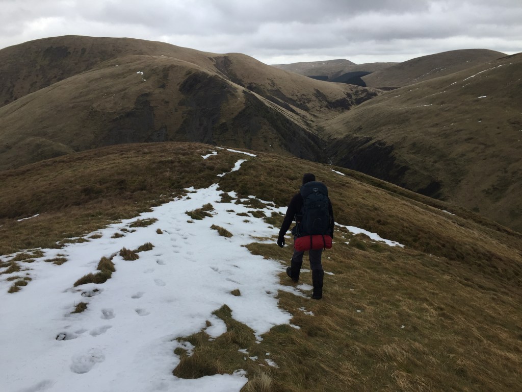
We rose steadily above the trees onto Gateside Rig and followed the ridge along towards Croft Head, the highest and windiest point of the day.

More storm scarring.

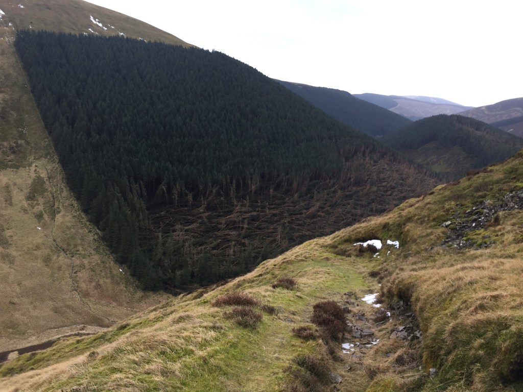
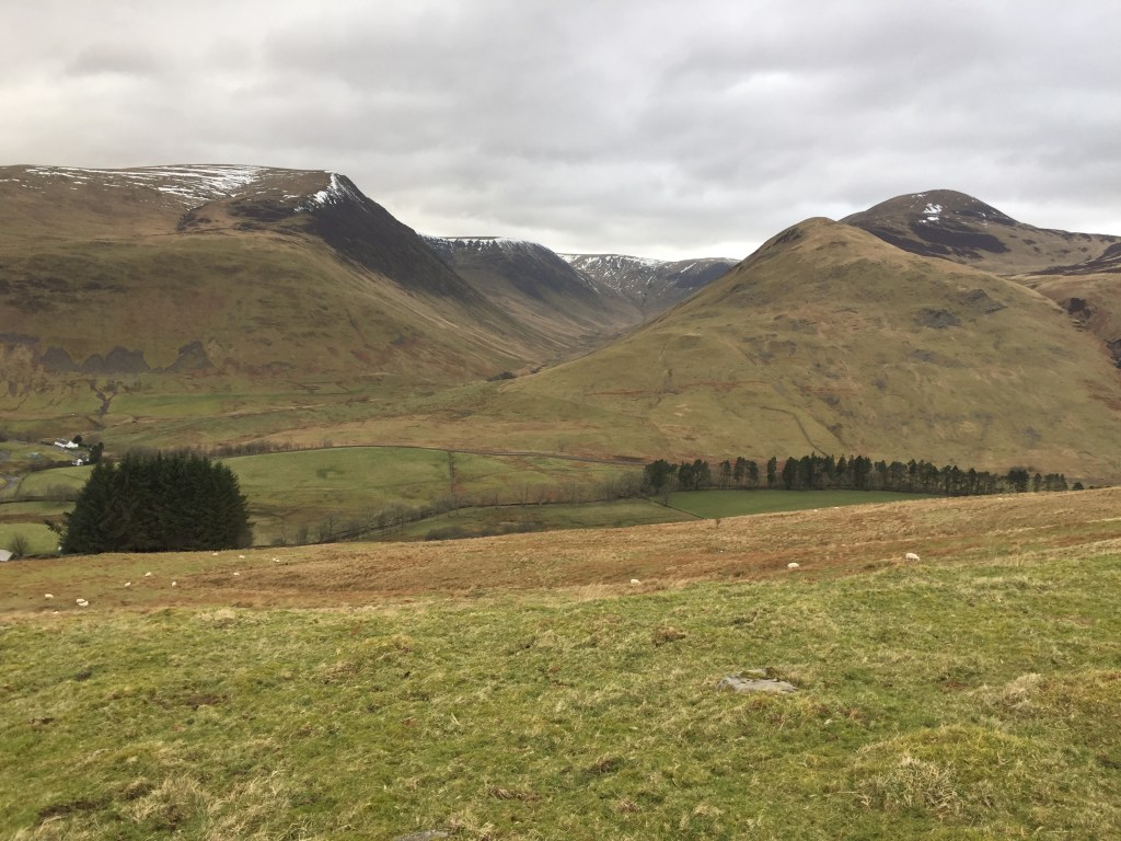
From Croft Head the views looking north east were fab. We stopped for lunch looking over the biggest scar of the day, Craigmichen Scar, eating boiled eggs, biscuits and wondering how this mark had been created in the ground below us.

After lunch, we continued down the hill towards the scar, with more storm damage to be seen to our right.
The zig zag path made the downhill much less of a chore and the scar looked even more impressive as we reached the floor of the glen.

The sheiling you can see to the right in the picture above was one of many we saw today, although this one was in the most interesting, and the most remote spot. You can see the path down from the peak in the photo below.

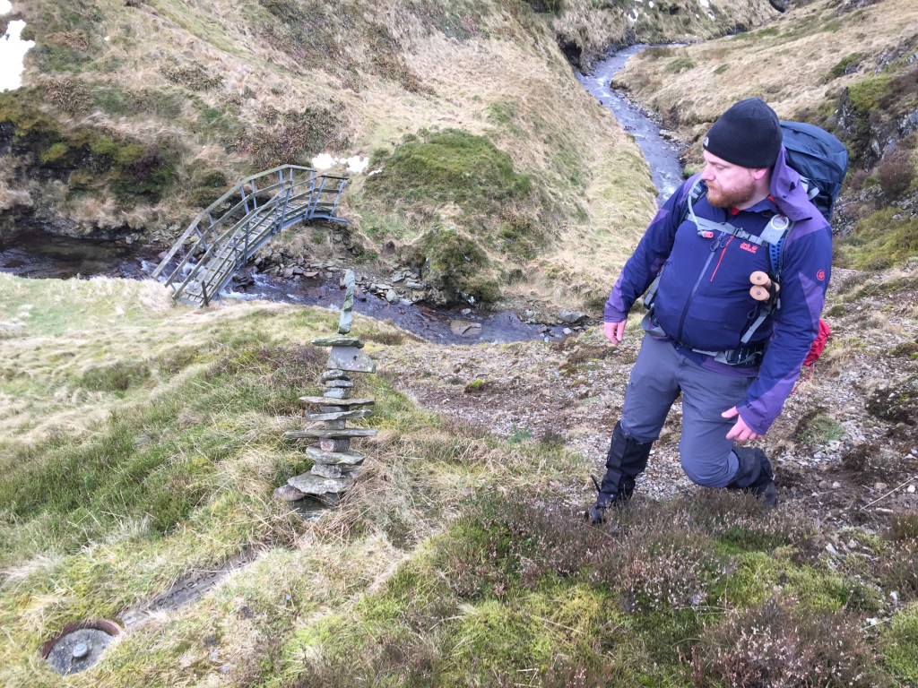
We continued plodding east and Mr C found the latest of his SUW treasures, a wind soldier near a bridge.
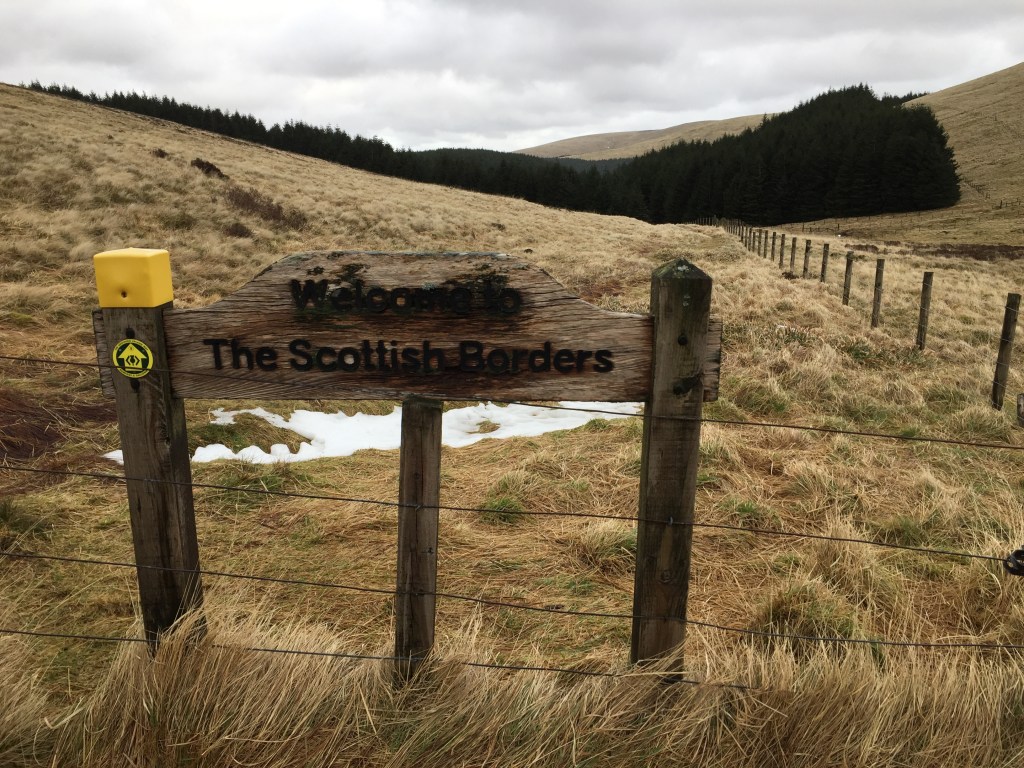
Onward and upward we climbed to Ettrick Head and as we reached this watershed, we did indeed see the rivers, which until that point had all been heading west, start heading east. We left Dumfries and Galloway and crossed into the Scottish Borders , my home region and into the Ettrick valley, the valley my grandparents had lived in.
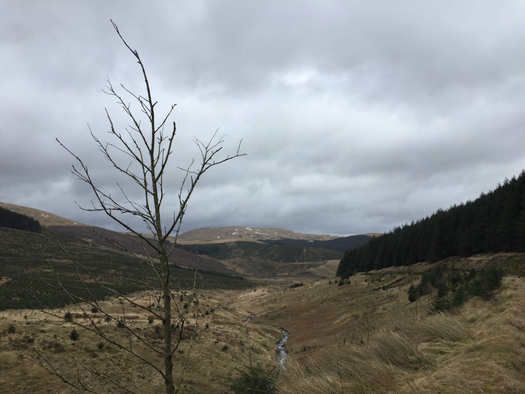
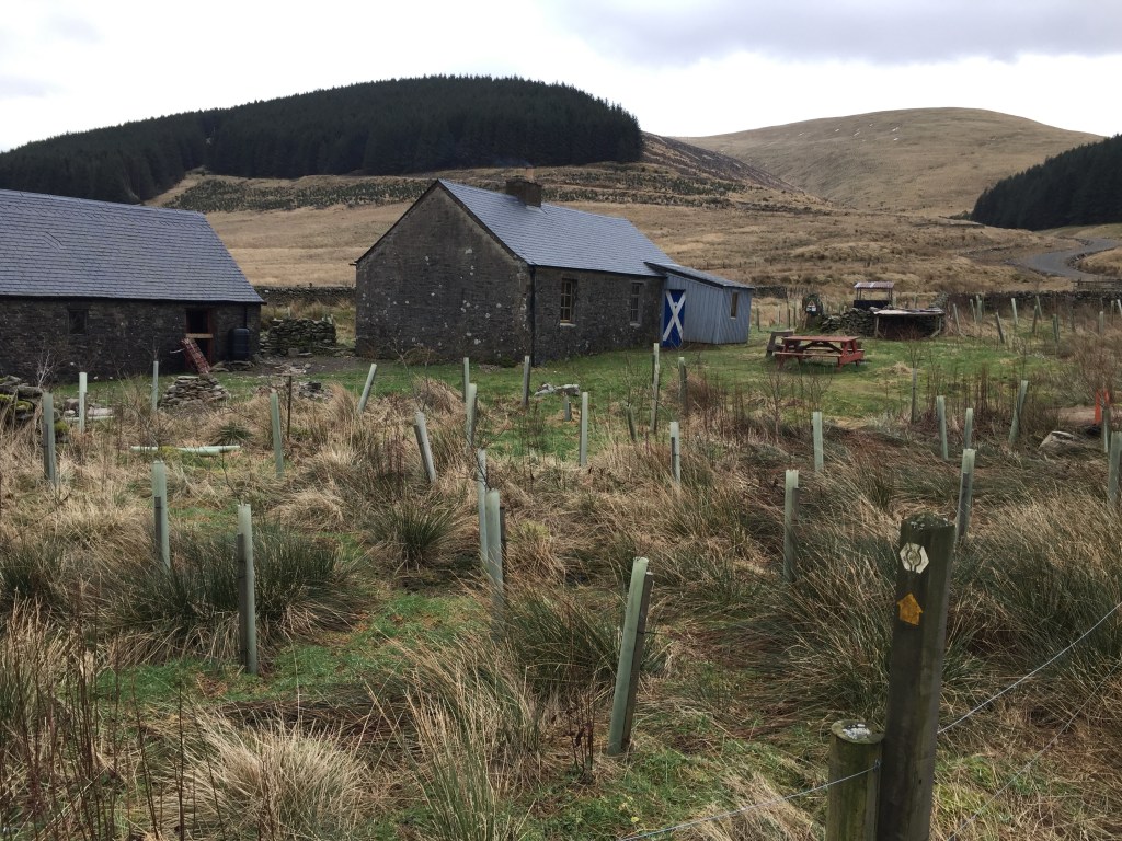
We dropped height (passing another scar, Red Scar) and so our pace increased as we got closer to and finally reached Over Phawhope bothy. Mr C was pleased at this point as here was his end point for the day (I still had to get back to the van) so we got the stove out and had a cuppa and some biscuits.

After chatting with the landowner, it was clear he feels this bothy has a few issues with locals causing bother. So sad to hear. Another type of scarring perhaps. But we must have made an impression as just after leaving to head back to the van the same landowner stopped and offered me a lift! Very kind of him.

I politely declined and headed up over the moors and down again past Bodesbeck Law. The views of Hart Fell and the Black Hope valley as I dropped lower out of the wind were impressive. Before long I was back at the van and happy with my days walking. 21km and I was ready for tea.

Your Thoughts?